Western Maryland's Appalachian panhandle produces mountain slope instability, while the Chesapeake Bay shoreline faces coastal erosion and flooding, giving the state two nearly unrelated risk profiles connected only by shared DOT jurisdiction.

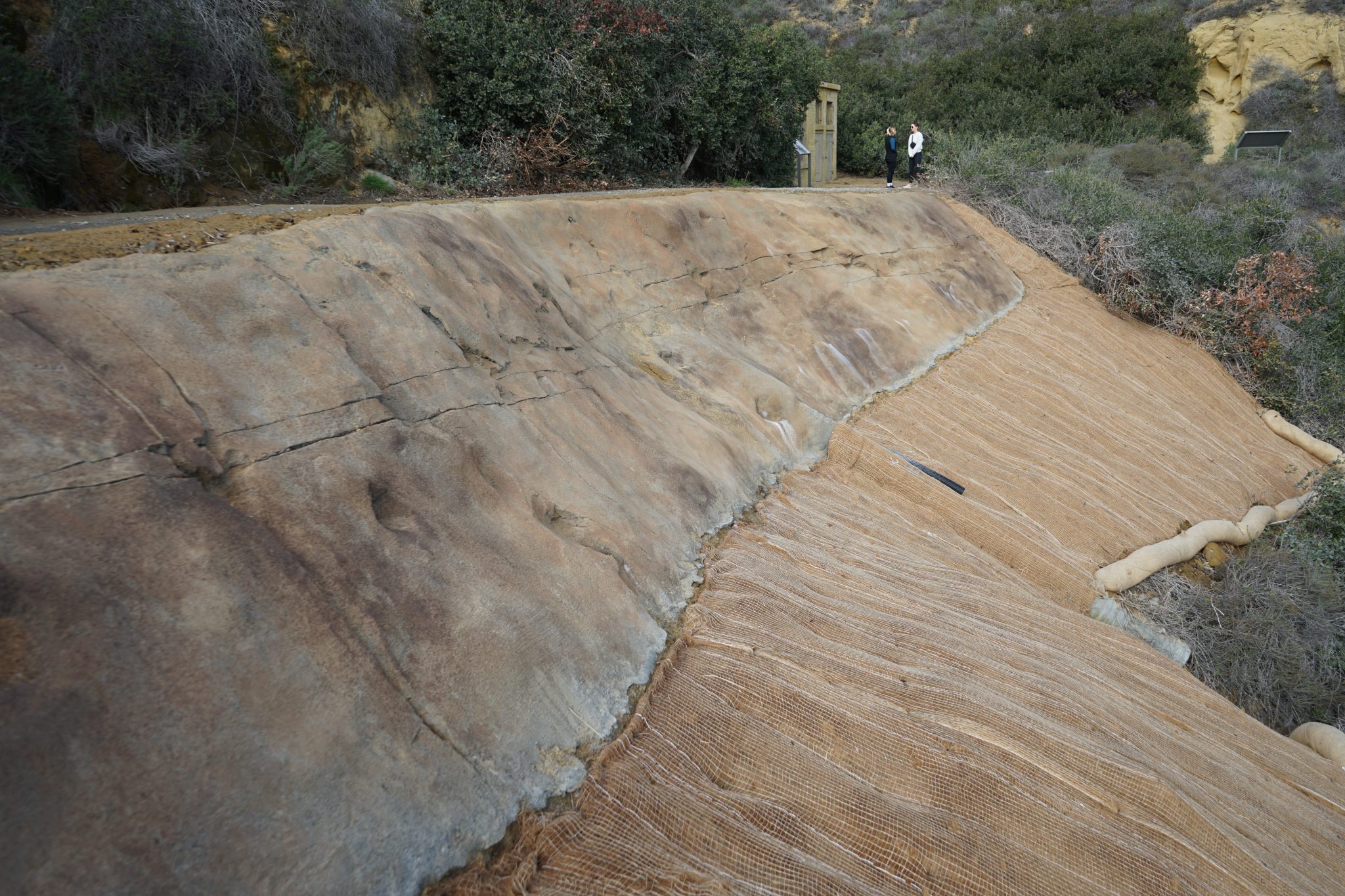
Western Maryland's Appalachian panhandle, including the Sideling Hill cut along I-68, brings mountain slope instability risk similar to neighboring West Virginia and Pennsylvania, while the Chesapeake Bay shoreline on the opposite side of the state faces coastal erosion and hurricane-driven flooding, a near-complete contrast in geohazard profile within one state's borders. A documented karst belt in the Hagerstown Valley adds a third, more localized ground settlement risk.
GSI addresses this as part of a broader landslide emergency response pattern affecting MDSHA's network.
GSI ranks Maryland's response across slope instability, erosion control, ground settlement, the state's primary drivers, based on real terrain and climate relevance.
the Appalachian panhandle's Sideling Hill corridor is the driver here. GSI addresses it in Maryland through soil nailing.
Driven by Chesapeake Bay shoreline erosion and storm flooding, this shows up across Maryland. GSI's response is coastal and bluff stabilization.
Maryland sees this where documented karst in the Hagerstown Valley. GSI resolves it with compaction grouting.
Maryland infrastructure owners see this from valley karst-adjacent settlement, resolved by GSI using underpinning and foundation support.
Western Maryland's Appalachian panhandle produces mountain slope instability, while the Chesapeake Bay shoreline faces coastal erosion and flooding, giving the state two nearly unrelated risk profiles connected only by shared DOT jurisdiction.
The I-68 cut through Sideling Hill exposes a dramatic fold in Appalachian sedimentary rock, and {SLOPE_LINK} work along this corridor addresses both the exposed rock structure and surrounding soil stability.
The Chesapeake shoreline faces erosion from both routine wave action and hurricane-driven storm surge, a {EROSION_LINK} and {HURRICANE_LINK} concern entirely separate from the state's western mountain terrain.
Yes, in the Hagerstown Valley, where documented karst terrain produces localized {GROUNDSETTLE_LINK} concerns distinct from the state's larger-scale slope and erosion risks.
I-68 and I-70 cross the Appalachian panhandle's slope instability zone, while Chesapeake Bay shoreline communities face the state's primary erosion and flooding risk.
GSI's {DESIGNBUILD_LINK} model adapts to whichever of Maryland's distinct zones, Appalachian panhandle, Hagerstown Valley karst, or Chesapeake shoreline, a project falls within.

Unstable roadside slopes and vehicle runoff risk often go hand in hand. RoadGuard installs guardrail and high tension cable barrier systems that keep vehicles on the roadway while GSI addresses the slope itself.
From slope instability to ground settlement, GSI's engineers are ready to assess your Maryland site.