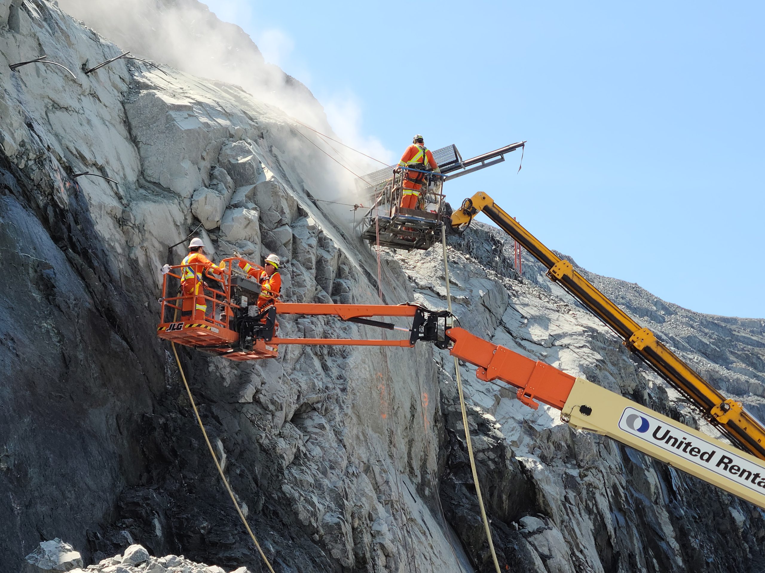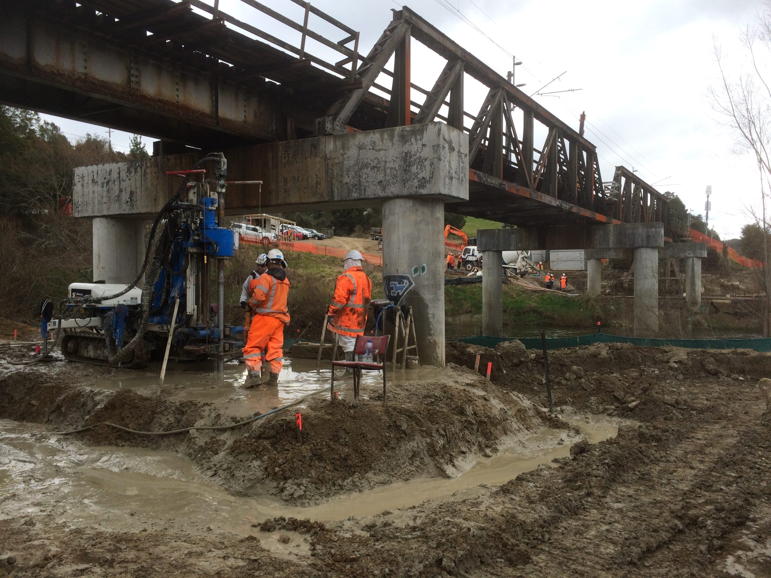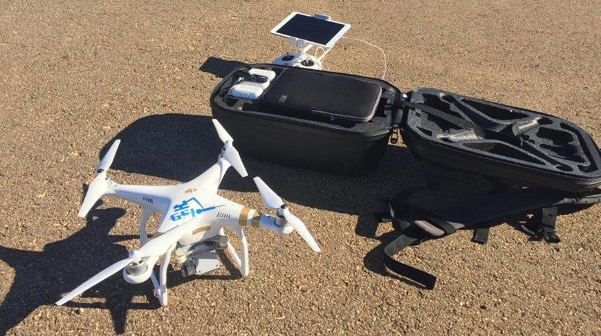
As a pioneer utilizing Unmanned Aerial Vehicle (UAV) technology, GeoStabilization International® obtained a Section 333 Certificate of Authorization to fly UAVs in 2015. Today, with multiple Part 107 UAS certified engineers on staff, GeoStabilization has adopted this technology as a primary geohazard assessment tool. Data collection employing aerial platforms permits our engineers to obtain valuable site information safely while limiting their exposure to unstable ground and rockfall hazards.
To learn how our Geohazard Asset Management & Monitoring team utilizes the data collected by UAVs to minimize owners’ risk and maximize their budgets, click here.
If you are interested in a no-obligation site visit to determine if our services fit your needs, call us at 855-579-0536 or fill out our contact form.