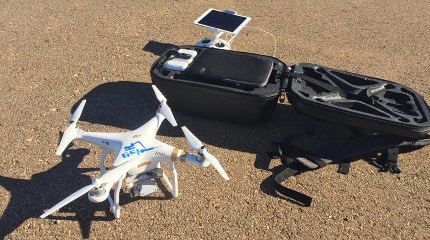
UAS Platform Capabilities
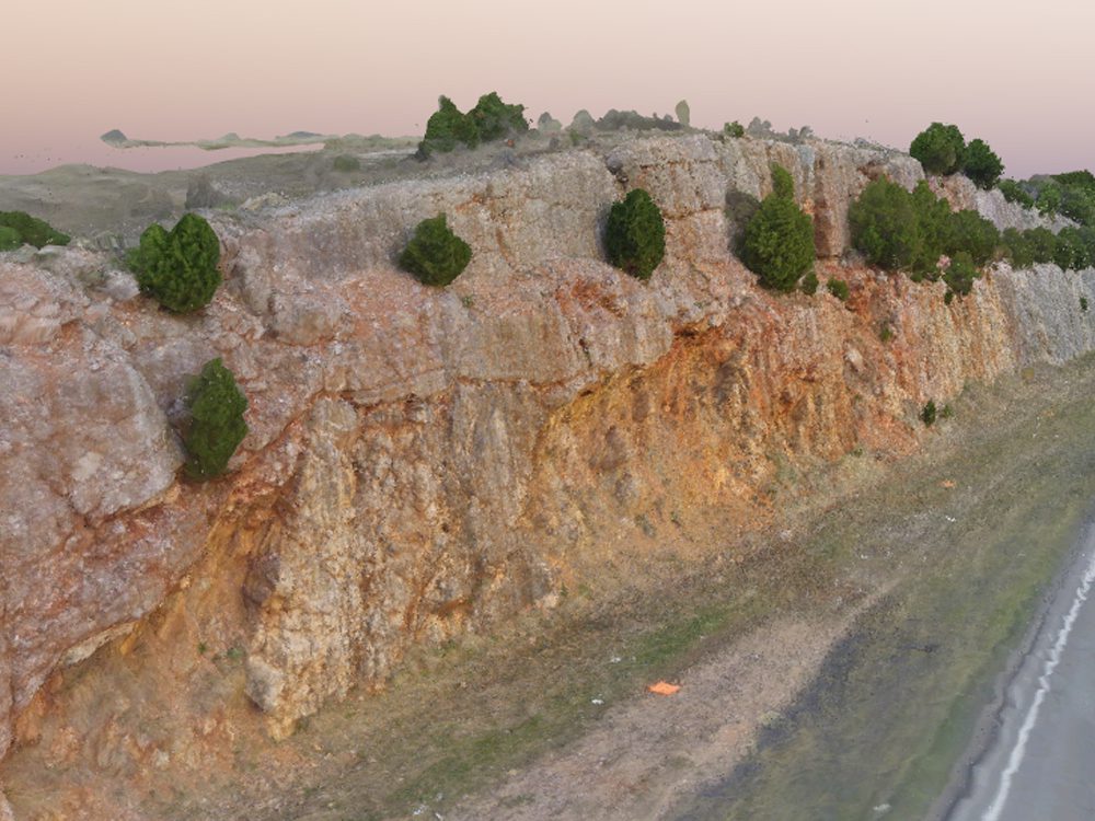
In the early phases of slope remediation projects, our engineers use UAS equipment to collect photographs, build Structure-from-Motion (SfM) point cloud models, and in heavily vegetated areas, collect lidar data. This hardware is the safest, fastest, and most accurate way to obtain high-quality geometric measurements to begin the root-cause analysis process needed to design a mitigation solution.
Beyond the investigation and mitigation of slope failures, data collected from UAS platforms can be invaluable for creating landslide inventories, performing change detection, monitoring changes in slope conditions, and modeling geohazard susceptibility. This information can, in turn, be a key input in risk assessment and asset management programs that promotes data-driven decision-making.