California combines steep Coast Range and Sierra Nevada terrain, active seismic faulting, and increasingly frequent wildfires that strip hillside vegetation. {SLOPE_LINK} work in California has to account for all three factors, not just one.

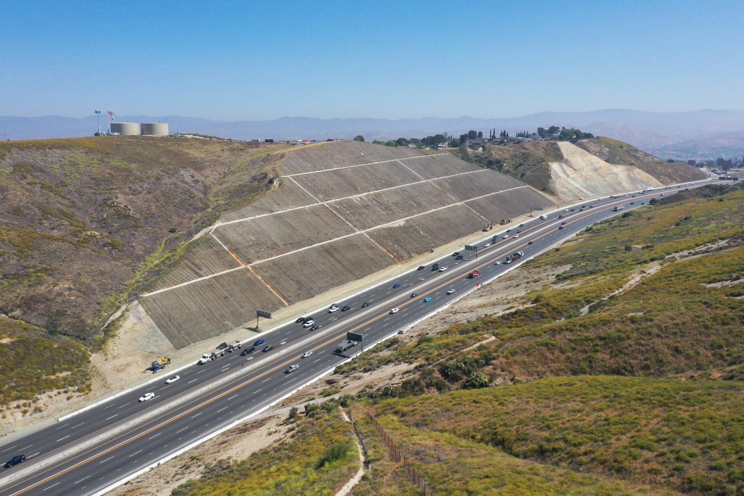
California's active fault systems generate seismic activity that regularly triggers slope failures across the Coast Ranges and Sierra Nevada, and the same steep terrain produces abundant rockfall along corridors like Highway 1 and I-80. Wildfire dramatically compounds this risk: a burned watershed loses the vegetation that normally anchors soil, and when an atmospheric river delivers intense rainfall onto that denuded slope, the result is often a catastrophic debris flow rather than an ordinary landslide.
Caltrans encounters this Steep Slope Stability Issues pattern often enough to treat it as a standing concern.
slope instability, rockfall risk, erosion control define California's geohazard exposure, and GSI's response to each reflects the state's real conditions.
California infrastructure owners see this from Coast Range and Sierra Nevada slopes amplified by wildfire and atmospheric rivers, resolved by GSI using soil nailing.
Across California, fractured rock along Highway 1 and mountain corridors causes this. GSI treats it with rockfall barriers.
This stems from atmospheric river flooding at river crossings and coastal infrastructure in California. GSI's fix is coastal and bluff stabilization.
seismic and rainfall-driven embankment failures statewide is the driver here. GSI addresses it in California through compaction grouting.
California combines steep Coast Range and Sierra Nevada terrain, active seismic faulting, and increasingly frequent wildfires that strip hillside vegetation. {SLOPE_LINK} work in California has to account for all three factors, not just one.
Burned vegetation no longer anchors hillside soil, and burned ground also becomes hydrophobic, meaning water runs off rather than soaking in. When an atmospheric river hits a recently burned watershed, the result is often a fast moving debris flow rather than a conventional slow landslide.
Highway 1 along the coast and I-80 through the Sierra both cross fractured rock formations that shed material onto the roadway, a hazard GSI addresses through {ROCKFALL_LINK} systems engineered for California's specific rock types.
Yes, GSI maintains {POSTFIRE_LINK} and deploys debris flow barriers ahead of the first post-fire storm season, when burned watersheds are at their most vulnerable.
Pacific Coast Highway, US-101, and mountain corridors like I-80 face landslide, rockfall, and erosion risk simultaneously, while PG&E and SCE utility corridors crossing wildfire-prone terrain add a fourth layer of exposure.
GSI's model incorporates seismic loading into every slope and rockfall design as a baseline requirement, not an afterthought, given the state's statewide fault exposure.
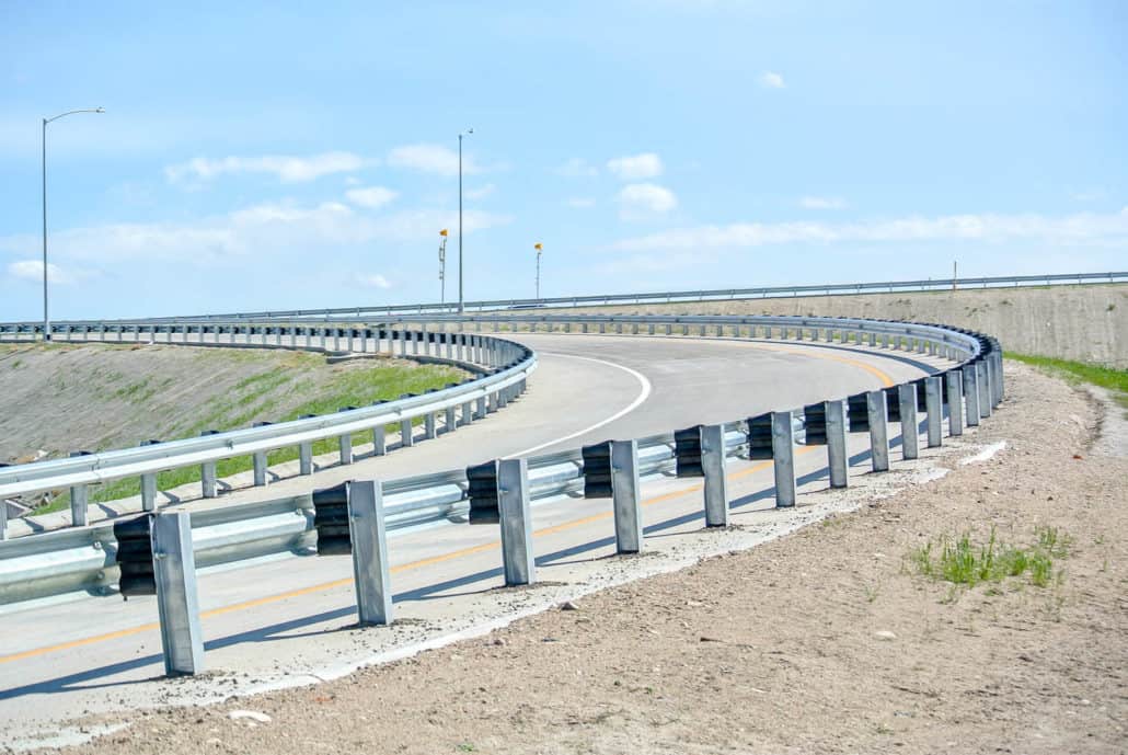
Unstable roadside slopes and vehicle runoff risk often go hand in hand. RoadGuard installs guardrail and high tension cable barrier systems that keep vehicles on the roadway while GSI addresses the slope itself.
From slope instability to erosion control, GSI's engineers are ready to assess your California site.