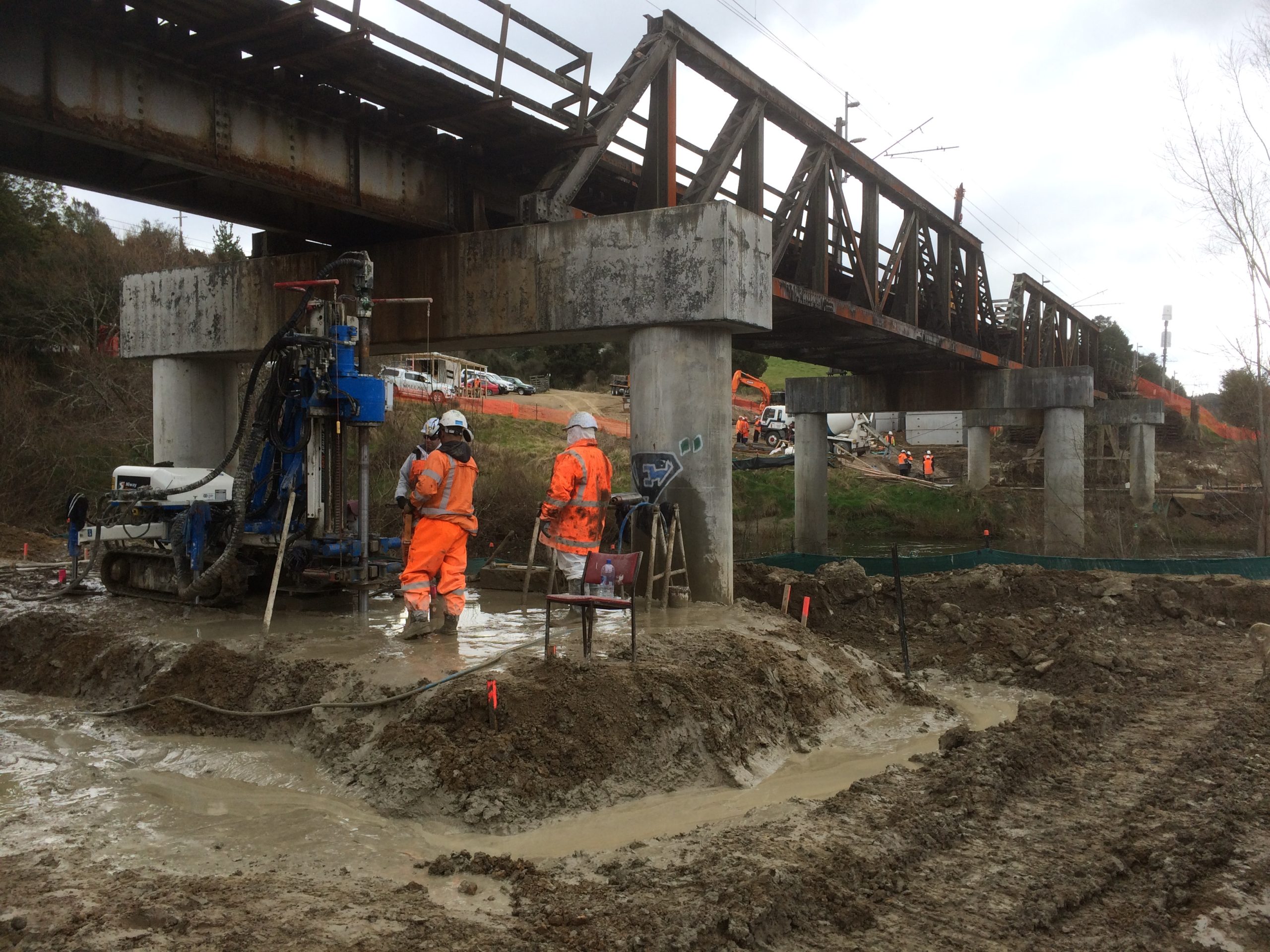
UAS Platform Capabilities
GSI selects UAS tools based on site conditions, terrain, and project risk level. These capabilities support everything from early investigation to long-term slope performance tracking:
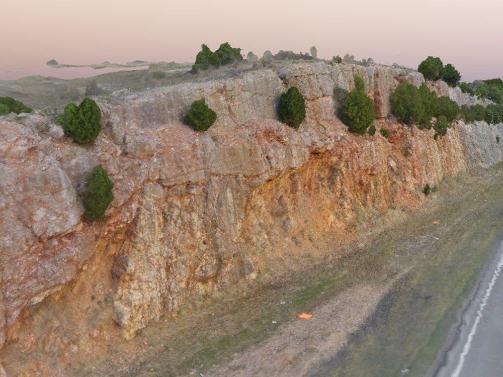
- High-resolution imagery to document slope conditions and identify features like cracks, erosion pathways, debris zones, and rock structure
- Structure-from-Motion (SfM) modeling to generate dense point clouds and accurate 3D surfaces for slope geometry, volumes, and change mapping
- LiDAR in heavily vegetated areas to capture ground surfaces where tree cover limits traditional photogrammetry
- Thermal or multispectral imaging to help identify moisture patterns, seepage zones, and surface changes that may signal evolving risk
This aerial data provides the geometric foundation needed to start root-cause analysis and develop engineered stabilization plans.