How Remote Scaling Works
1. Detailed Slope Assessment
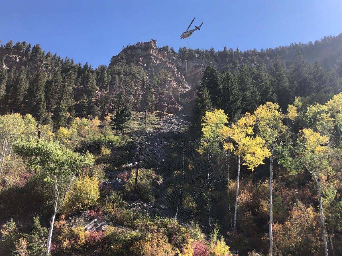
Every project begins with a geotechnical evaluation. Using drones, LiDAR mapping, and high-resolution imagery, GSI’s engineers identify fracture zones, loose material, overhangs, and areas requiring targeted removal. This remote data collection is especially valuable in mountainous regions or along transportation routes experiencing freeze–thaw cycles or seismic loading.
2. Remote Access Technology
Based on the site’s geometry, GSI deploys tools that may include:
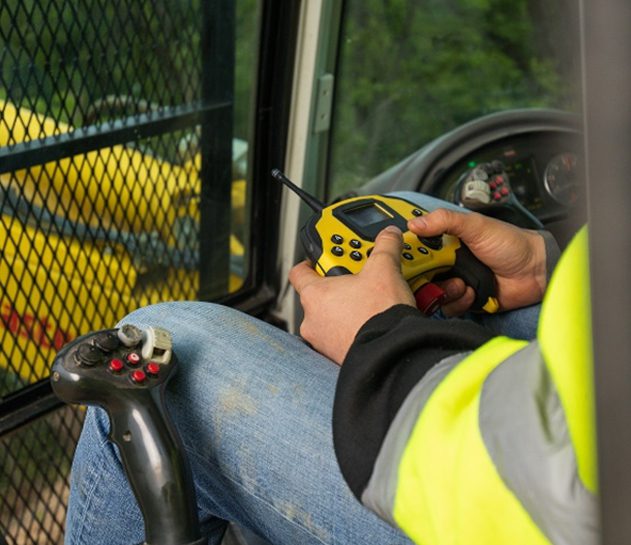
- Remotely operated excavators equipped with breakers, rippers, or scaling buckets
- Robotic impact devices capable of controlled striking to release fractured material
- Crane-suspended scaling tools for vertical rock cuts or canyon walls
- Drone-assisted inspection to pinpoint priority areas before scaling occurs
These systems provide precise removal without exposing personnel to rockfall zones.
3. Controlled Material Release
Using real-time cameras, sensors, and telemetry, operators dislodge unstable rock from a safe setback. Material falls into designated containment zones where it can later be removed or managed as needed.
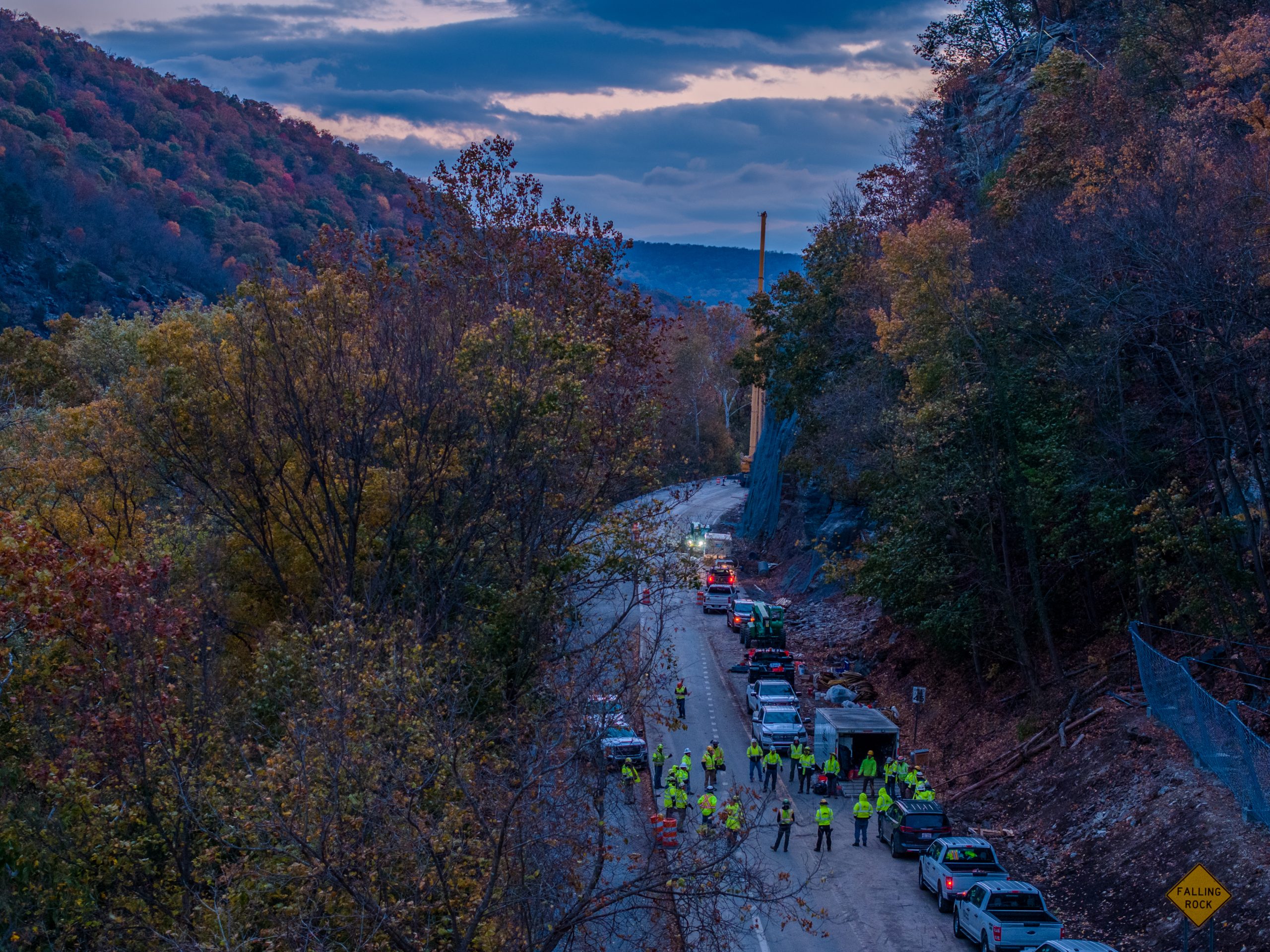
4. Safety Protocols
Remote scaling reduces exposure, but GSI still implements strict safety controls including exclusion zones, staged removal sequencing, and continuous monitoring. This ensures material releases occur in a predictable and controlled manner.
5. Follow-Up Stabilization
After loose material is removed, GSI may install additional stabilization measures such as:
- Rock bolts or dowels
- Mesh systems (draped, anchored, or cable-net)
- Shotcrete or hybrid facing systems
These solutions extend slope life and reduce future risk.
REDUCE ROCKFALL RISKS NOW